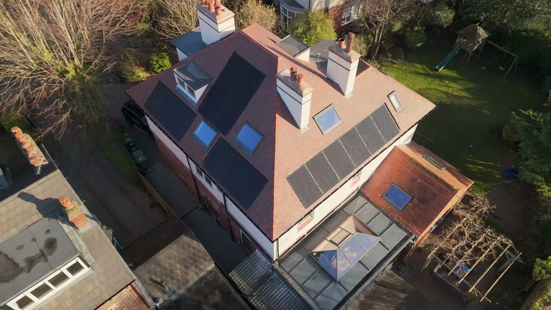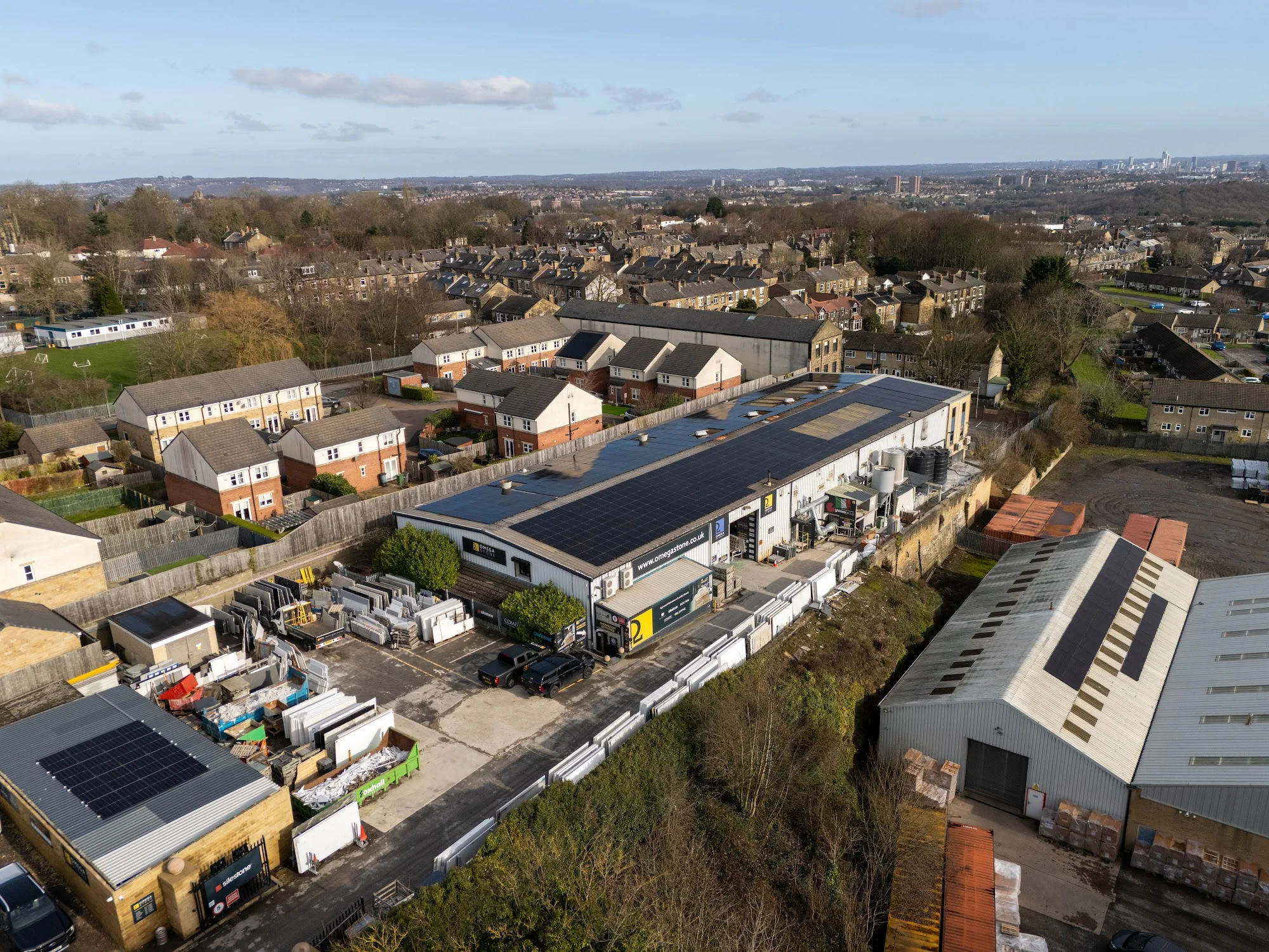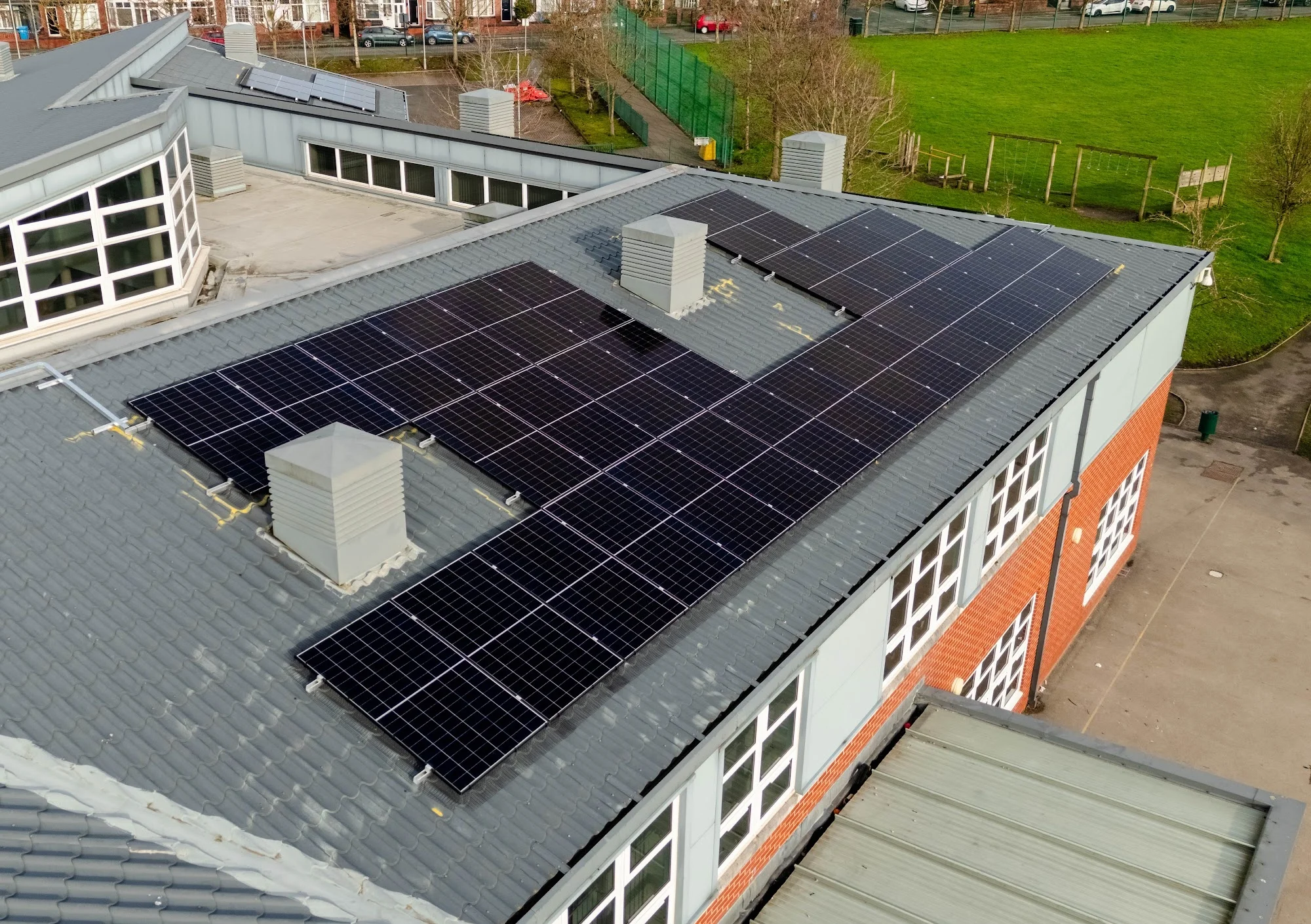
Industrial Manufacturing Site
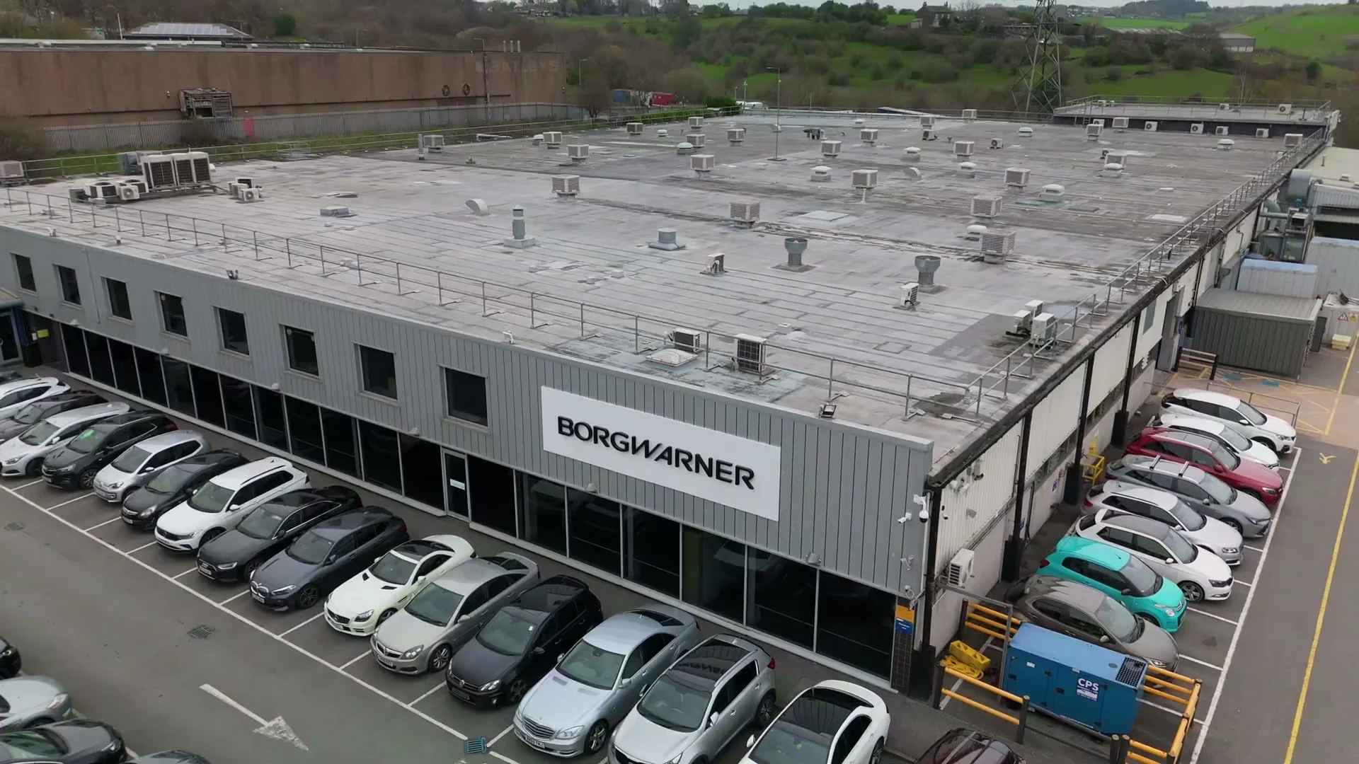
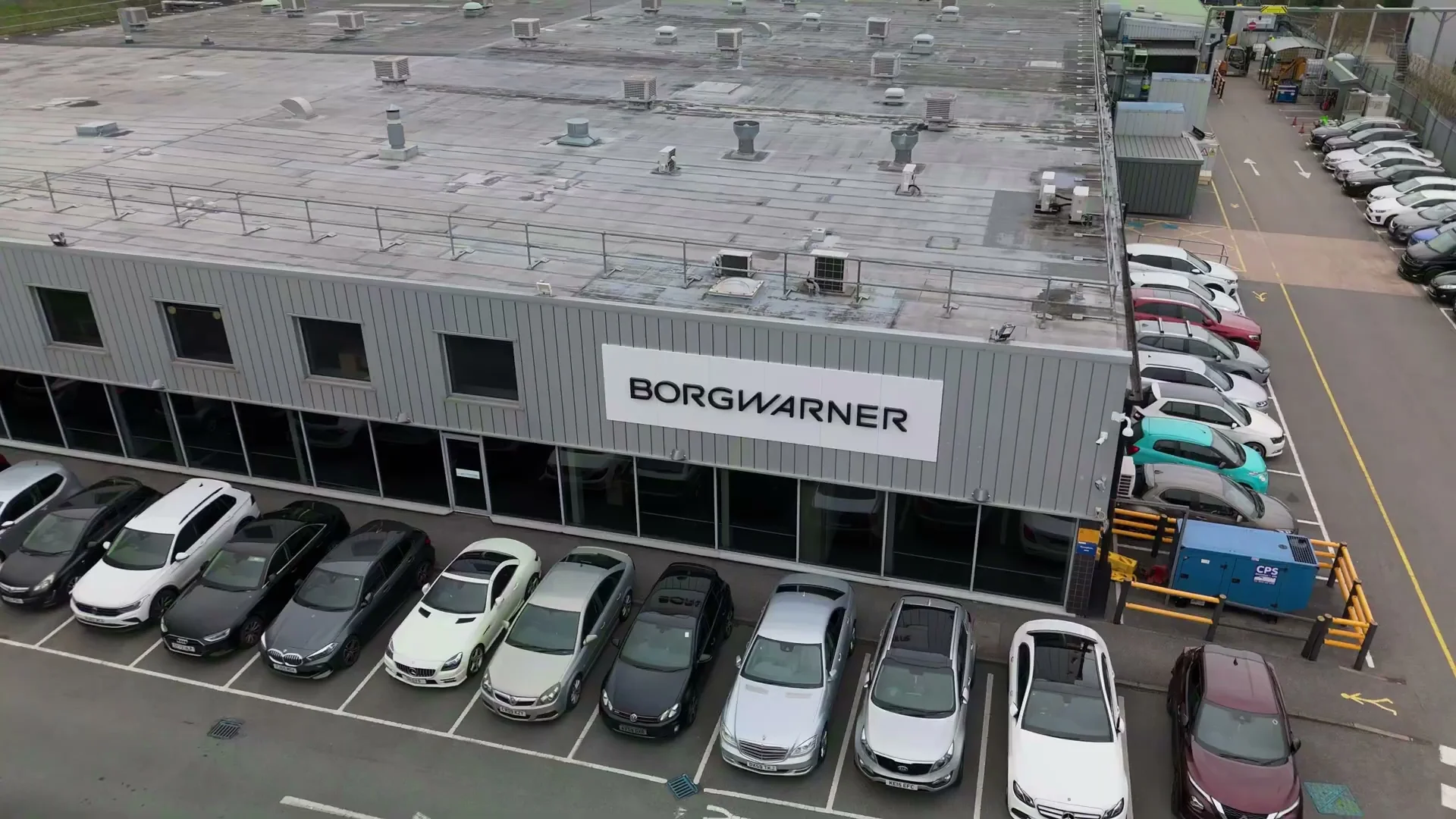
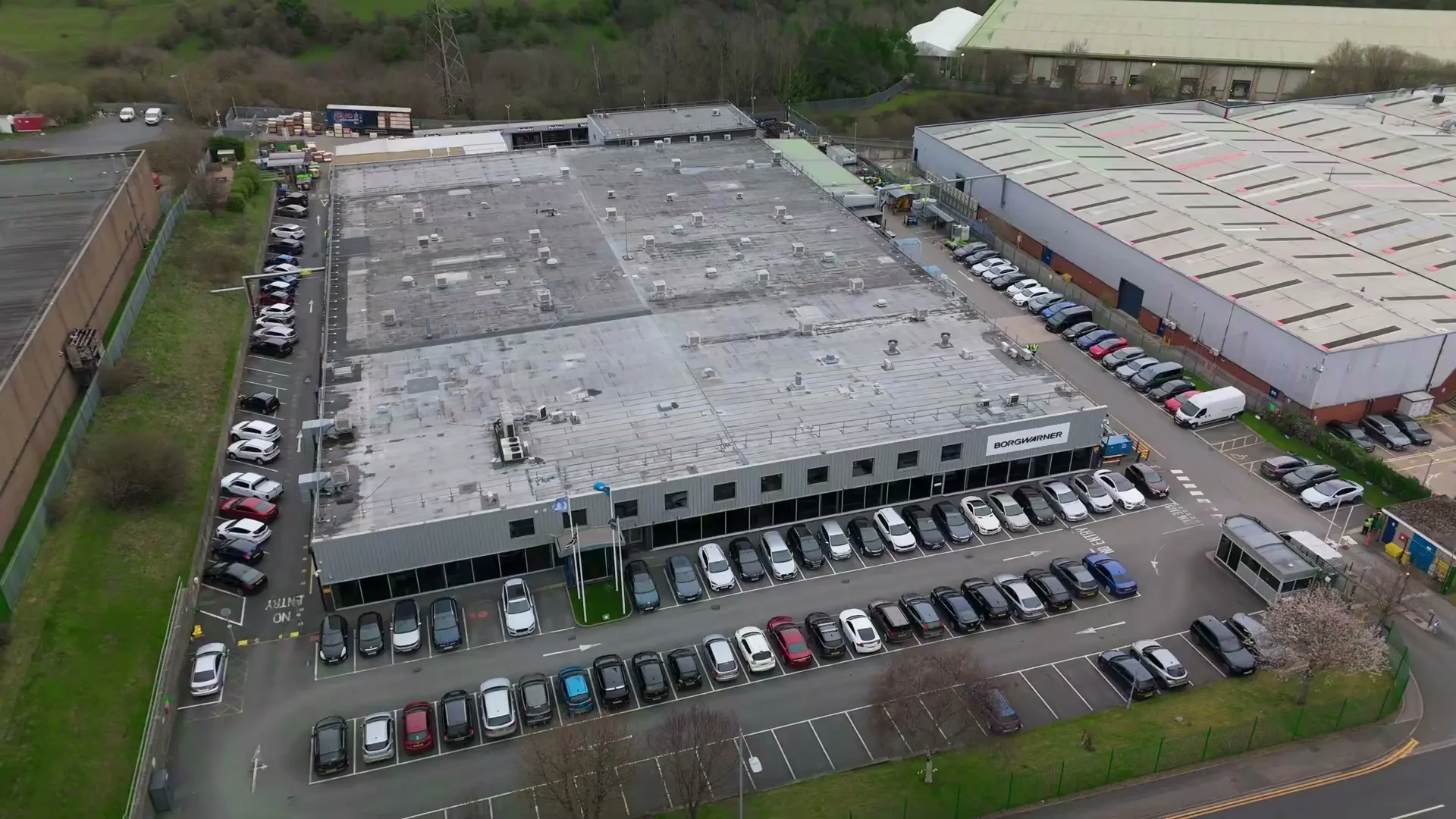
Comprehensive high-resolution aerial mapping, structural roof survey, and promotional campus imagery.
Category
Commercial Facility
Location
UK Region
Deliverables
19 High-Res Stills & 4K Video
Pilot Qualification
CAA GVC Certified
Project Photo Gallery
Click photo to expand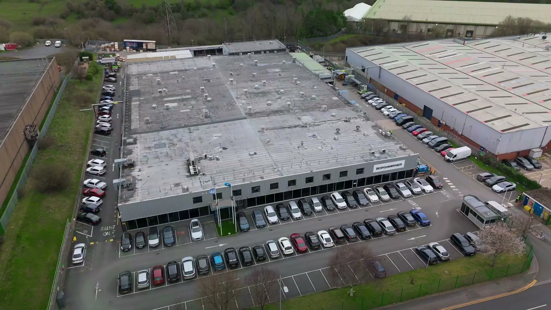
zoom_in
zoom_in
zoom_in
zoom_in
Mission Objective & Execution
This commercial flight assignment required high-magnification aerial photography and survey imagery across an expansive industrial campus. The flight plan evaluated structural roof integrity, rooftop installations, and surrounding facility boundaries without disrupting site operations.
Operating strictly under Civil Aviation Authority guidelines, high-resolution RAW stills were captured, color graded, and delivered in ultra-clear WebP/JPEG formats.
Flight Safety & Insurance
- check £1M Public Liability Insurance
- check CAA Pre-Flight Risk Assessment
- check 48-Hour High-Res Data Delivery